Bogor City Mayor meets with Director of ICLEI’s carbonn Center
May 22, 2019
Registration opened for ICLEI’s online training on GHG emissions inventory elaboration (in Portuguese)
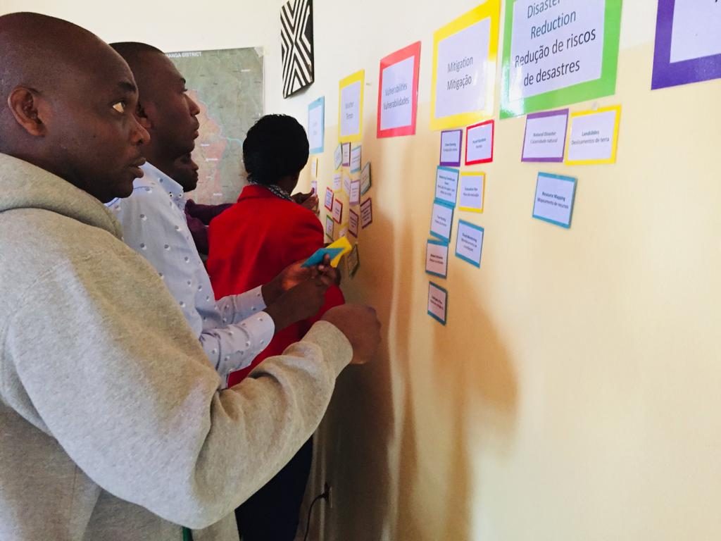
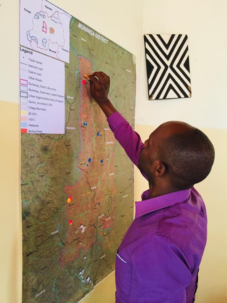
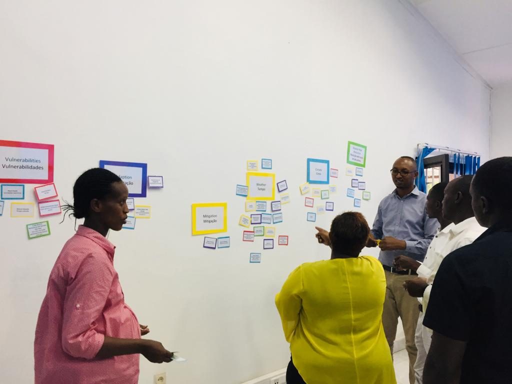
June 10, 2019The Rwanda National Risk Atlas highlights five disaster risks that are prevalent in Rwanda and four of them are related to climate namely, drought, landslides, floods, and windstorms. Through participatory workshops in April 2019, the three Urban-LEDS ll cities in Rwanda identified climate hazards and risks, and vulnerable groups that may be impacted by climate change.

The workshop made use of the officials’ extensive knowledge and experience of their cities in addition to using a combination of data sources, such as the Rwanda national risk atlas[1] (2015) and Rwanda climate change vulnerability assessment and index[2] (2019). In the workshops thunderstorms, Vector-borne disease and hail were amongst the additional identified hazards posing climate risks in the different districts. The assessments are critical to local communities and enhancement of integrated municipal planning to prevent climate impacts. Although these workshops, focused on district level planning much more work is needed to localise these climate risks to the lowest governance level in each of the Urban-LEDS cities in Rwanda.
The integration of climate adaptation measures and disaster risk reduction management at district level planning is important for the creation of climate-resilient cities. The identification of vulnerable groups and sectors that may be impacted by climate change enables coordinated efforts, particularly increasing interdepartmental planning to reduce the impact of climate change. For instance, landslides affect various sectors resulting in the damage of infrastructures such as water supply, housing and transportation. Climate risk and vulnerability assessment reports will be developed, built upon the reporting guidance used by the Global Covenant of Mayors for Climate and Energy and the Covenant of Mayors Sub-Saharan Africa. They also form part of the development of the districts Low Emissions Development Strategies (LEDs) which will include adaptation co-benefits for each district. The key learning from these workshops include understanding how district officials can continuously work with communities to address their vulnerabilities and improve their adaptive capacity.
[1] Rwanda National Risk Atlas
[2] Rwanda Climate change Vulnerability Assessment and index, 2018


