Bangladesh
Bangladesh has proposed to reduce its emissions by 5% by 2030 from a 2011 base year, with the potential to raise this reduction to 15% given international support. At the same time, Bangladesh’s 7th Five Year Plan (2016-2020) includes a goal to improve air quality in Dhaka and other large cities. Given synergies between reducing GHG emissions and reducing Short-Lived Climate Pollutants (SLCPs), their are strong opportunities for vertically integrated action under Urban-LEDS II. The cities participating in the project receive support to develop Low Emission Development Strategies, GHG emission inventories, climate commitments and to implement a variety of low emission development solutions – see page At a Glance and Achievements.
Led by: ICLEI South Asia Secretariat.

Contact us
ICLEI South Asia Secretariat
Head Office: New Delhi
C-3, Lower Ground Floor
Green Park Extension
New Delhi 110016
India
Tel: +91 11 4974 7200
Fax: +91 11 4974 7201
| Size of population (year) | 164,67 millions (2017) |
| Size (km²) | 147,800 |
| Population density (year) | 1265/ km2 (2017) |
| Official language(s) | Bangla |
| Time Zone | +6:00 GMT |
| GDP per capita | 2,167 (2017) |
| Annual GDP Growth rate | 7,3% (2017) |
| % of population living in poverty | 24,3% (2017) |
| Unemployment rate | 4,4 % |
| Link to updated NDC | Click here |
Greenhouse Gas emissions by sector
- Agriculture
- Energy
- Land Use Change and Forestry
- Waste
- IPPU
| Source | Amount (MtCO2e for 2012) | % |
|---|---|---|
| Agriculture | 74,75 | 39% |
| Energy | 62,37 | 33% |
| Land use and Forestry | 31,35 | 17% |
| Waste | 18,28 | 10% |
| IPPU | 3,12 | 2% |
Cities
Narayanganj
Rajshahi
Singra
Sirajgan
Faridpur
Mongla
See tabs below for city profiles.
Narayanganj city is the largest, most historic, and most populous city of Narayanganj district in Dhaka division of Bangladesh. Narayanganj Municipality was upgraded to Narayanganj City Corporation on May 5th, 2011 to include 27 wards (i.e administrative zones) of Narayanganj Municipality, Siddhirganj Municipality, and Kadamrasul Municipality. The city’s markets, located on the banks of River Sitalakhya, are historically important trading centers.
Narayanganj city has a mixed topography. The urbanized areas and levees of the Sitalakhya, the Buriganga, and the Old Brahmaputra Rivers are of comparatively higher elevation. Geologically the city is on a terrace lying from 1-10 meters above the adjacent floodplains.
The major geographic units of the city are the highland or terrace, the lowland or floodplain, depressions, and abandoned channels. Low lying swamps and marshes located in and around the area are other major topographic features. Narayanganj city is located near Bangladesh’s capital city of Dhaka and is well connected with Dhaka-Chittagong highway. The city falls within the impacted zone of development resulting from this important transport corridor. The River Sitalakhya passing through the city is used for water based transportation and forms an integral part of the city’s trade and mobility.
| Size of population (year) | 709,364 (Bangladesh Bureau of Statistics census 2011) |
| Size (km²) | 47.22 km² (Bangladesh Bureau of Statistics census 2011) |
| Population density (year) | 22,563 hab/km² (Bangladesh Bureau of Statistics census 2011) |
| Official language(s) | Bengali |
| Major economic activities in the city | Primary sector: activities such as agriculture, mining and fishing are not as prevalent. Secondary sector: driven by business and industries for jute and oilseed trade, processing plants, cement manufacturing, textile industries, etc. There is a river port used for shipping of industrial goods of these industries. Tertiary: small trade, private sector, and government jobs. |
| Population growth trend | The annual population growth rate of district is 3.05 % (Bangladesh Bureau of Statistics census 2011) |
| % of population living in urban areas | 100% |
| Average annual rate of urbanization | 100% urbanization with an annual population growth of 3.05% |
| Greenhouse Gas emissions (total in C02e/year) | 1,070,132 tonnes of CO2e in 2018-19 (Source: Narayanganj GHG inventory as reported to CDP-ICLEI reporting system, December 2020) |
| City official website | Click here |
Greenhouse Gas emissions by sector
- Residential Buildings
- Commercial and Institutional Buildings/Facilities
- Manufacturing Industries and Construction
- Transportation
- Waste
| Source | Amount (tCO2e for 2017-18) | % |
|---|---|---|
| Residential Buildings | 242,847 | 22.69% |
| Commercial and Institutional buildings/facilities | 86,161 | 8.05% |
| Manufacturing Industries and Construction | 610,675 | 57.07% |
| Transport | 29,449 | 2.75% |
| Waste | 101,000 | 9.44% |
The metropolitan city of Rajshahi is situated on the bank of River Padma and is the headquarters of the Rajshahi administrative division of Bangladesh. Rajshahi is an education hub with a large number of educational institutions, and is referred to as the Education city of Bangladesh. It is also famous for Rajshahi silk and often referred to as the Silk city. The city has taken notable efforts to reduce air pollution, led by the Rajshahi City Corporation.
Geographically, Rajshahi is situated within Barind Tract, 23 m (75 ft) above sea level. The city is located on the alluvial planes of the Padma river, which flows through southern side of the city.
| Size of population (year) | 449,756 (Bangladesh Bureau of Statistics 2011) |
| Size (km²) | 96.72 km² (Source: Bangladesh Bureau of Statistics 2011) |
| Population density (year) | 4,611 hab/km² (Bangladesh Bureau of Statistics 2011) |
| Official language(s) | Bangla (Bengali) is the main language for the citizens of Rajshahi city. English is understood widely, especially for academic and business purposes. |
| Major economic activities in the city | Primary sector: fishing, agriculture, and agricultural activities. Secondary sector: silk based factories and manufacturing sectors, handcraft and boutique industries, food and fruits processing industries. Tertiary: public sector, banking, education, trading, business, and private sector. |
| Population growth trend | The annual population growth rate is 1.25% (Bangladesh Bureau of Statistics 2011) |
| % of population living in urban areas | 100% |
| Average annual rate of urbanization | 100% population living in urban with annual population growth of 1.25% |
| Greenhouse Gas emissions (total in C02e/year) | 647,756 Tonnes GHG Emissions as CO2e in 2017-18 (Source: Rajshahi GHG inventory as reported to CDP-ICLEI reporting system, December 2020) |
| City official website | Click here |
Greenhouse Gas emissions by sector
- Residential Buildings
- Commercial and Institutional Buildings/Facilities
- Manufacturing Industries and Construction
- Agriculture
- Transportation
- Waste
| Source | Amount (tCO2e) | % |
|---|---|---|
| Residential Buildings | 1,48,564 | 22.94% |
| Commercial and Institutional Buildings/Facilities | 31,991 | 4.94% |
| Manufacturing Industries and Construction | 1,69,081 | 26.10% |
| Agriculture | 194 | 0.03% |
| Transportation | 1,60,205 | 24.73% |
| Waste | 1,37,721 | 21.26% |
Singra is a municipality of Natore district in Rajshahi division, Bangladesh. Singra Municipality was established in 1999 and includes 12 wards. The city is surrounded by the historic Chalan Beel and intersected by the Natore-Bogra highway in the east-west direction.
Singra city is located within the flood plain of Atrai and Gurnai Rivers, and also falls within the undulating Barind land. A number of water bodies including ponds and canals exist within the city area. The city experiences extreme weather during the summer and winter season as it falls within the Barind Tract. Historically floods occur every year due to the overflow of the two Rivers Atrai and Gurnai. The peripheral areas of Singra city are also situated at a lower altitude and are flooded nearly every year during monsoons.
| Size of population (year) | 33,192 persons (Bangladesh Bureau of Statistics census 2011) |
| Size (km²) | 29.39 km² (Bangladesh Bureau of Statistics census 2011) |
| Population density (year) | 2,869 hab/km² (Bangladesh Bureau of Statistics census 2011) |
| Official language(s) | Bengali |
| Major economic activities in the city | A majority of the population (42.46%) is involved in agricultural activities (primary Sector). 23.98% households are involved in small retail businesses (Secondary Sector), 2.05% are employed in government/autonomous organization, 2.05% are employed in the private sector, and 31.39% are involved in informal activities. |
| Population growth trend | 3.92% (Source: Bangladesh Bureau of Statistics census 2011) |
| % of population living in urban areas | 25% (Source: Bangladesh Bureau of Statistics census 2011) |
| Average annual rate of urbanization | 4.5% (Source: Bangladesh Bureau of Statistics census 2011) |
| Greenhouse Gas emissions (total in C02e/year) | – |
| City official website | Click here |
Sirajganj city is located in the greater Rajshahi division of Bangladesh, at a distance of about 110 km from the capital city of Dhaka. The city is situated on the banks of the Jamuna River. Sirajganj is an important jute trade center and port and houses jute mills. The city’s trade and businesses benefit from its close proximity to the Jamuna multipurpose bridge, the largest bridge in Bangladesh, connecting Sirajganj to Dhaka and the eastern part of country via road and railway.
Sirajganj city falls in the floodplain of the Brahmaputra and Jamuna Rivers. Due to its geographical location, Sirajganj is susceptible to water logging, floods, and river erosion along the banks of the Jamuna River.
| Size of population (year) | 158,913 (Bangladesh Bureau of Statistics 2011) |
| Size (km²) | 28.49 km² (Bangladesh Bureau of Statistics 2011) |
| Population density (year) | 5,577.9 hab/km² (Bangladesh Bureau of Statistics 2011) |
| Official language(s) | Bengali |
| Major economic activities in the city | Primary sector: agriculture, fishing, dairy firms and informal commerce. Secondary sector: jute and small cottage industries including knitting and garments. Tertiary: services including public and private services, banks, institutions and business. |
| Population growth trend | Annual population growth rate is 2.17%. (Bangladesh Bureau of Statistics 2011) |
| % of population living in urban areas | 100% |
| Average annual rate of urbanization | 100% population is living in urban areas with annual population growth of 2.17% |
| Greenhouse Gas emissions (total in C02e/year) | – |
| City official website | Click here |

Faridpur municipality is located in the Faridpur district of Dhaka division. The city spans an area of 19.78 sq.km of which 19.07 sq.km is under the Faridpur municipality (includes 9 administrative wards). Faridpur plays a significant role in connectivity as the National Highway N – 7 runs through the city, connecting the entire southern part of the nation with capital Dhaka. The city also has some historic mosques and temples, which attracts a lot of regional tourists.
Faridpur is bounded by River Padma and five canals namely Baral, Gohala, Gumani, Chicknai and Kenai Pathar in the northeast. The canals serve as the primary water sources for the city.
| Size of population (year) | 121,632 persons (2011) (Bangladesh Bureau of Statistics 2011) |
| Size (km²) | 17.38 sq. km (Bangladesh Bureau of Statistics 2011) |
| Population density (year) | 6,998 per sq. km (Bangladesh Bureau of Statistics 2011) |
| Official language(s) | Bengali |
| Major economic activities in the city |
(Calculated from Bangladesh Bureau of Statistics 2011) |
| Population growth trend | 1.26% annual growth rate (2001-2011) (Bangladesh Bureau of Statistics 2011) |
| % of population living in urban areas | Data not available |
| Average annual rate of urbanization | 100% of the population lives in urban areas |
| Greenhouse Gas emissions (total in C02e/year) | Does not exist |
| City official website | Click here |

Mongla Port Municipality is located in the south of Bangladesh, 55 km away from Khulna and at the bank of Bay of Bengal. The municipality was formed in 1990 with an area of 19.43 sq km and lies beside Poshur River. The Mongla seaport plays a significant role in it’s the country’s economy. Mongla is prone to strong cyclones and storm surges which can damage its infrastructure. The unplanned drainage system of Mongla Port municipality results in water logging during high tides and heavy rainfall.
| Size of population (year) | 39,837 persons (2011) (Source: Bangladesh Bureau of Statistics 2011) |
| Size (km²) | 19.43 sq. km |
| Population density (year) | 2050 per sq. km (Source: Bangladesh Bureau of Statistics 2011) |
| Official language(s) | Bengali |
| Major economic activities in the city |
|
| Population growth trend | -0.86% per year from 2001 – 2011 (Bangladesh Bureau of Statistics 2011) |
| % of population living in urban areas | 100% |
| Average annual rate of urbanization | 100% urbanized (100% of the population is living in the urban area) |
| Greenhouse Gas emissions (total in C02e/year) | Data unavailable |
| City official website | Click here |
News from the country

Rajshahi & Narayanganj lead the way for ‘Climate Resilient’ urban development in Bangladesh through Climate Action Plans and demonstrative actions
In line with national priorities, the cities of Rajshahi and Narayanganj, have made significant strides towards advancing low emission and climate resilient development to bring down […]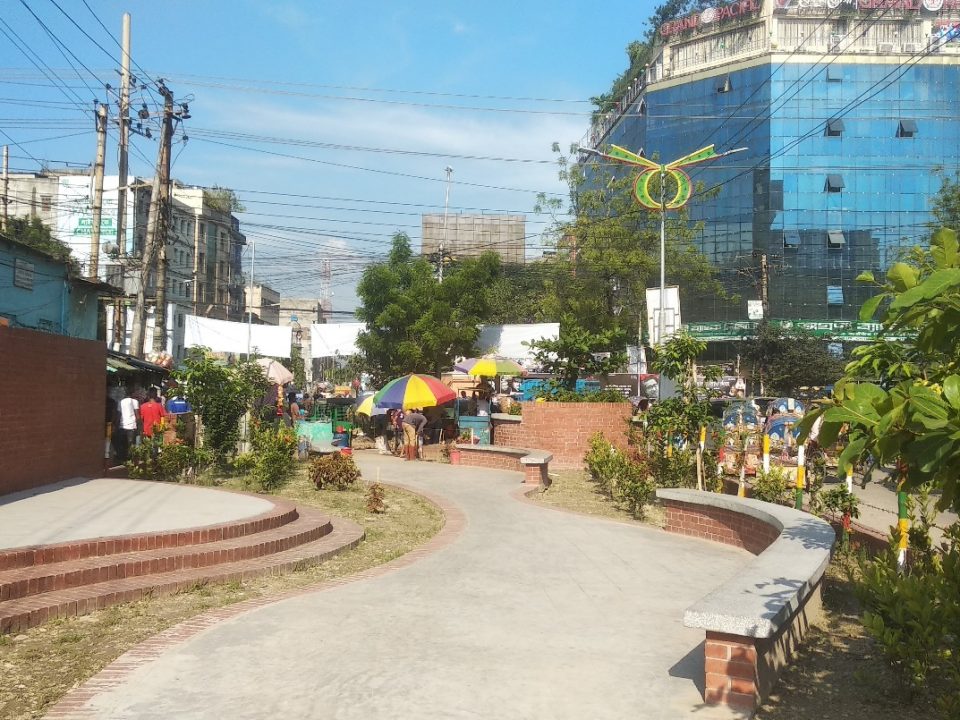
Narayanganj city furthers its ‘low emission urban development’ through innovative pilot projects
Narayanganj city is committed to improving its air quality and contributing to the Bangladesh government’s goals on increasing use of renewable energy sources. Taking concrete steps […]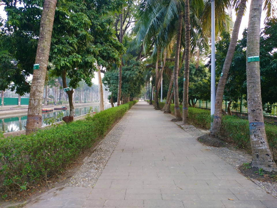
Rajshahi advances its Urban Greening actions and completes plantation for a pilot project on biodiversity
The city of Rajshahi is forging ahead with its efforts on urban greening and biodiversity improvement. Through the support of the Urban-LEDS II project, this city […]
New Greening Plan to Revitalize Rajshahi as Climate-Responsive Sustainable City
Rajshahi city in Bangladesh will soon be able to make use of its first-ever Open Green Spaces Plan to guide its efforts on effective management of […]