Lao PDR
While Lao PDR’s NDC does not offer an overall emission reduction target, it does list a number of planned activities that will reduce emissions and expresses an intention to “implement policies that support the long term goal of limiting global GHG emissions in line with the objectives of the UNFCCC”. The review of the Lao NDC revealed strong interest in climate action in urban areas. At COP22, a representative of the Lao delegation proposed that Urban-LEDS II implementers select a smaller city to pilot vertically integrated emission reporting.
The cities participating in the project receive support to develop Low Emission Development Strategies, GHG emission inventories, climate commitments and to implement a variety of low emission development solutions – see pages At a Glance and Achievements.
Led by: ICLEI Southeast Asia Secretariat
Supported by: UN-Habitat Regional Office for Asia Pacific
Contact us
ICLEI Southeast Asia Secretariat
Units 3-4, Manila Observatory, Ateneo de Manila University
Loyola Hts., Quezon City 1108, Philippines
Tel & Fax: +632 426 0851
E-mail: [email protected]
UN-HABITAT Regional Office for Asia and the Pacific
ACROS Fukuoka Building, 8th Floor
1-1-1 Tenjin, Chuo-ku, Fukuoka 810-0001, Japan
Tel: + 81 92 724 7121
Fax: +81 92 724 7124
E-mail: [email protected]
Website: http://www.fukuoka.unhabitat.org/
About Lao PDR
The national Project Advisory Group (PAG) for Lao PDR is set up with the support of the Department of Climate Change (DCC) of the Ministry of Natural Resources and Environment (MONRE), and was launched during the project launch in October 2018. It will serve as the Project Steering Committee for the implementation of the Urban-LEDS II.
| Size of population (year) | 6,858,160 (2017) |
| Size (km²) | 236,800 |
| Population density (year) | 30/ km2 (2017) |
| Official language(s) | Lao |
| Time Zone | +7:00 GMT |
| GDP per capita | 2,167 (2017) |
| Annual GDP Growth rate | 6,89% |
| % of population living in poverty | 23,2% (2012) |
| Unemployment rate | 0.67 % |
| Link to updated NDC | Click here |
Greenhouse Gas emissions by sector
- Energy
- IPPU
- Waste
- LUCF
- Agriculture
| Source | Amount (GgCO2 for 2000) | % |
|---|---|---|
| Energy | 1.039.76 | 2.1% |
| IPPU | 38.95 | 0.1% |
| Waste | 131.88 | 0.3% |
| LUCF | 41.016.52 | 82.3% |
| Agriculture | 7.606.34 | 15.2% |
Cities
Pakse
Kaysone Phomvihane
Outhoumphone
Songkhone
Sanasomboun
Bachiangchaleunsouk
See tabs below for city profiles.
Pakse City is the capital city of Champasak province of southern Laos, and the third most populous in the country, serving as a major transport and commercial hub for southern Laos. It is situated at the confluence of Xedon River and the Mekong, about 100 km north of the country’s border with Cambodia, 30 km east of the Thailand border and 200 km west of the border with Vietnam. It is strategically located at a key point in the Greater Mekong Subregion (GMS), along Road 13S that connects to the GMS’ East-West and Southern Economic Corridors, and along Route 20 that connects Thailand and Vietnam. It is the capital of the southernmost province of Laos, Champasak, and has a total land area of 125 km2. Pakse was officially declared as a city after the government recently announced the upgrade of three provincial capitals (Luangprabang, Kaysone Phomhivane, and Pakse) to city status. A ceremony was held on May 31st, 2018 to announce the new status of Pakse City.
The city of Pakse is located on a plain area approximately 102 meters above Mean Sea Level (MSL) and surrounded by high peaks adjacent to a large mountain. The Mekong is over one kilometer wide as it passes through Pakse, flowing broadly from northwest to south. The central area of Pakse and its immediate surroundings are relatively flat with slight undulations, levels varying about 20 meters within the urban area and 40 meters in the rural areas. Many of the low lying areas are below the 5-year-flood level of the Mekong River. The area along the Pakse side of the Mekong River is level for the length of the whole urban area. Similarly, the area west and south of the Xedon River to the Mekong River around Pakse Airport is also flat. Towards much of the development east of the city, the land rises towards Mount Bachiang. From north of Pakse to the east of the Xedon River and directly across from the Mekong, land is also relatively flat, serving as the main rice growing area in Champasack Province. Downstream from the Mekong Bridge the land rises towards Mount Palou and Mount Malong, both abutting the Mekong River. Key attributes of the city as follows: plain/flat, lowland, river and coastal, mountainous, and plateau.
| Size of population (year) | 77,860 people (Population and Housing Census 2015), 80,431 people (2017) |
| Size (km²) | 125 km² |
| Population density (year) | 615.5 hab/km² (2015) |
| Official language(s) | Lao is official language spoken in the city with some Vietnamese-Chinese, Mon-Khmer and ethnic languages. |
| Major economic activities in the city | Pakse is the core business town of the southern provinces with a GDP of USD1,429 per capita in 2010. The trade and service sector accounted for about 50% of GDP, followed by 38% share for industry and 12% share for agriculture. The active labor force represents about 60% of the total population and of whom 27% are government officers, 13% are farmers, and the remaining 60% are traders, services providers, daily wage laborers, and manufacturers. Wholesale and retail businesses flourish, primarily due to its close proximity to Thailand, Vietnam and Cambodia and associated improved transport connections. Primary sector: trade and services. Secondary sector: industry-manufacturing. Tertiary: agriculture. |
| Population growth trend | 2.5% (2015) |
| % of population living in urban areas | 87.5% (2015) |
| Greenhouse Gas emissions (total in C02e/year) | 354,001 tCO2e (2019) |
| City official website | Not available |
Greenhouse Gas emissions by sector
- Stationary Energy
- Transport
- Waste
- AFOLU
| Source | Amount (tCO2e for 2017-18) | % |
|---|---|---|
| Stationary Energy | 224,077 | 63.3% |
| Transport | 9,380 | 2.6% |
| Waste | 116,440 | 32.9% |
| AFOLU | 4,103 | 1.2% |
Kaysone Phomvihane city, previously known as Khanthabouli, is a city in western Laos and the capital of the of Savannakhet province. It sits on the Mekong River, bordering Thailand. The city is also known as Kaysone Phomvihane, the name of the 20th-century president who was born here. Kaysone Phomvihane City has a land area of 779.03 km2, acting as a border town and also serving as a major agro-industrial processing center. The town is the largest city in Savannakhet province, and is bounded to the west by the Mekong River and Mukdahane province in Thailand, to the east by Outhomphone district, to the south by Champhone district, and to the north by Xaibouli district. Kaysone Phomvihane has been officially declared as a city after the government recently announced the upgrade of three provincial capitals (Luangprabang, Kaysone Phomhivane and Pakse) to city status. A ceremony was held on May 25th, 2018 to announce the new status of Kaysone Phomvihane City.
Kaysone Phomvihane city is located in the alluvial river plain of the Mekong River with flat land along the river, dry land, and lowland.
| Size of population (year) | 125,622 (Population and Housing Census 2015) |
| Size (km²) | 779.03 km² |
| Population density (year) | 193.1 hab/km² (2015) |
| Official language(s) | Lao is the official language spoken in 99% of households, Phouthai and Vietnamese/Thai are spoken in the other 1% of households. |
| Major economic activities in the city | Kaysone Phomivhane has emerged as the focal point for development of secondary and tertiary industries that are established in the province of Savannahket. The service sector and the industry and commercial sectors are the major source of employment and income for local inhabitants who work in both private business establishments and government institutions.
Primary sector: service. Secondary sector: industry, commerce, handicraft. Tertiary: agriculture-forestry. There has been a gradual shift away from the agriculture-forestry sector (with a share of 20.3% of GDP in 2010 to 19.1% in 2014) and services sector (GDP share reducing from 46.6% in 2010 to 45.6% in 2014) to the industrial/commercial sector (increasing its share of GDP from 32.9% in 2010 to 35.1% in 2014). Although the agriculture sector is declining, rice is still the predominant agricultural product in Kaysone Phomvihane, with volume produced accounting for about 20% of national production since 1990s. Rice production is undertaken over an area of 14,681 ha. In addition to rice production, the area is becoming known as a rubber and eucalyptus growing area; there are 180 ha planted with rubber trees and 105 ha planted with eucalyptus. The number of hotels, lodging houses and restaurants are increasing to accommodate the growing number of visitors and tourists in Kaysone Phomivihane. These establishments which are mostly in the town center are providing local employment to service providers. (Statistic Survey, Planning Office, Kaysone Phomvihane) |
| Population growth trend | 1.6% (2015) |
| % of population living in urban areas | 73% (2015) |
| Greenhouse Gas emissions (total in C02e/year) | 483,870 tCO2e (2019) |
| City official website | – |
Greenhouse Gas emissions by sector
- Stationary Energy
- Transport
- Waste
- AFOLU
| Source | Amount (tCO2e for 2017-18) | % |
|---|---|---|
| Stationary Energy | 340,565 | 70.4% |
| Transport | 9,373 | 1.9% |
| Waste | 100,204 | 20.7% |
| AFOLU | 33,728 | 7% |
Outhoumphone District is located in the middle of Savannakhet Province, about 30 km away from Kaysone Phomvihane city center. In the north, the district shares a border with Xaybouly and Adsaphone district, Xayphouthong and Champhone district in the south, and Kaysone Phomvihane city to the east. It is located along the National Road 13 South (Route No.13) and Road 9 that connects the east-west and southern route, which is about 38 km from north to south. The district of Outhoumphone is also situated in the plain areas with no main rivers run across.
| Size of population (year) | 92,837 (2019) |
| Size (km²) | 1,000 km² |
| Population density (year) | 94/km² (2019) |
| Official language(s) | Lao |
| Major economic activities in the city | The agriculture sector is the major source of income for the district, with rice as the predominant agricultural product in Outhoumphone following sugar cane, cassava, rubber trees, among others. Given its strategic presence along the transport corridor and the national road No. 13, Outhoumphone district has also emerged as one of the key points for the development of secondary and tertiary industries and factories that are established in Savannakhet province and the Special Economic Zone of the province. Apart from this, the service and commercial sectors are also the secondary source of employment and income for local inhabitants who work in both private business establishments and district government institutions. |
| Population growth trend | 1.3% per year |
| % of population living in urban areas | 27.6% (2015) |
| Greenhouse Gas emissions (total in C02e/year) | N/A |
| City official website | N/A |
Songkhone District is one of the 15 districts of Savannakhet province. It is situated along the No. 13 highway road and about 70 km away from the city centre of the province with a total land area of 1,406 km2, which covers 6.45% of the total area of Savannakhet province. It shares its northern border with Champhone and Chonnasuly districts, about 55 km south of the country’s border with Thailand, east of Thapangthong District and Lakhonepheng District of Saravan province, and west of the Xayphouthong District.
| Size of population (year) | 103,868 (2018) |
| Size (km²) | 1,406 km² |
| Population density (year) | 74/km² (2018) |
| Official language(s) | Lao and Phouthai |
| Major economic activities in the city | Traditional agricultural production is the main economic activity for the majority of people in Songkhone district, and it plays a main role in contributing to livelihoods and food security for communities in particular food crops (rice, maize, and vegetables) as well as cattle raising. Service and commercial sectors are considered as secondary activities. |
| Population growth trend | 0.79% per year |
| % of population living in urban areas | 11,29% |
| Average annual rate of urbanization | 8.94% |
| Greenhouse Gas emissions (total in C02e/year) | N/A |
| City official website | N/A |
Sanasoumboun is a district of Champasak Province. The district is situated 24 km away from the province’s city center along the national road 13 to the north of the province. It shares a 48 km border with Khongxedon district of Saravan Province to the north, 14 km with Pakse city to the south, 45 km with Bachiangchaleunsouk district to the east, and 58 km with Phonthong district and Thailand to the west. The district is also located mostly in plain areas. Topography consists of low land, low hills, and highlands. The lowland areas to the north of the district and along the Xedon river which is rich in natural resources, including agricultural land and forests. The low hill areas (plateau) to the east of the district is used as production forest and agricultural areas; and the other is high land areas to the west of the district which is the natural forest and national protected areas. It is situated at an elevation of 90-716 m above sea level.
| Size of population (year) | 80,558 (2018) |
| Size (km²) | 947 km² |
| Population density (year) | 85/km² (2018) |
| Official language(s) | Lao and Katang (ethnic language) |
| Major economic activities in the city | The economic output of the district consists primarily of agricultural products, particularly the production of rice and cattle. The district has benefited from its location in the Bolaven Plateau areas, which is notable for its rubber, tobacco, peaches, pineapple and rice production. In addition, the commerce, service, handicrafts production, among others, are considered as the secondary economic output of the district. |
| Population growth trend | 1.3% per year |
| % of population living in urban areas | 22.16% |
| Average annual rate of urbanization | 14.89% |
| Greenhouse Gas emissions (total in C02e/year) | N/A |
| City official website | N/A |
Bachiangchaleunsouk is a district located in north-east of Champasak Province, which is about 33 km away from the city center of the province with a total distance of 160 km from north to south. It shares a border with six districts: Saravan Province to the south, Paksong district to the west, Pathoumphone to the north, and Sanasomboun and Phonthong districts to the east. About half of the district area is flat land and the other is considered mountainous in the eastern part of the district. Bachiangchaleunsouk is rich in natural resources, including agricultural land, forests, and biodiversity. The district has a total agricultural land area of about 14,683 ha, representing about 12.86% of the total district land area, which is used for agricultural production. A large share of the district land is considered forest area of about 58,088 ha, representing approximately 74% of the total land.
| Size of population (year) | 59,808 (2018) | |
| Size (km²) | 784 km² | |
| Population density (year) | 76/km² (2018) | |
| Official language(s) | Lao | |
| Major economic activities in the city | The agricultural production is the main economic activity for the majority of the people in the district. Although at the household‐level, subsistence agriculture does not use advanced techniques and technologies, it is important for producing crops, including rice, vegetables, coffee, among others. This kind of agricultural production is not usually highly productive and is highly susceptible to changes in weather patterns, water level, water quality, and environment. Apart from this, the commerce, service and cattle are considered as the secondary economic activities of the district. | |
| Population growth trend | 1.21% per year | |
| % of population living in urban areas |
|
|
| Greenhouse Gas emissions (total in C02e/year) | N/A | |
| City official website | N/A |
Vientiane Capital, the capital city of Lao PDR, is a small, relaxed city, located in the central of Laos. The capital city has more of a small town feel than that of a capital.
It is stretched out on the north-eastern bank of a bend in the Mekong River. From the river bank inland, the three main roads run parallel to the river, while the largest and widest boulevard, Lane Xang Ave, runs from the Presidential Palace to the northeast around Patuxai, the Victory Gate, towards the That Luang Stupa, the most important religious monument in Laos.
| Size of population (year) | 820,940 (2015) |
| Size (km²) | 3,920 km2 |
| Population density (year) | 209/km2 (2015) |
| Official language(s) | Lao |
| Major economic activities in the city | Vientiane is the driving force behind economic change in Laos. In recent years, the city has experienced rapid economic growth from foreign investment. The GDP growth rate was 7.6% in 2008. For the economic output, manufacturing, mining quarrying and service sector are major contributors to GDP growth. |
| Population growth trend | 3.1% per year (between 1985 and 2005) |
| % of population living in urban areas | 78% (2015) |
| Greenhouse Gas emissions (total in C02e/year) | – |
| City official website | – |
Luang Prabang Province is located in the central part of the northern region of Lao PDR, which is about 390 kilometers from Vientiane Capital. The province is adjacent to Phongsaly Province and China in the north side, Oudomxay Province in the west side, Xayabury Province in the south side, Xiengkhouang Province, and Huaphan Province in the east side. The province is also surrounded by mountains; and flat land is situated near the Mekong River and Khan River. In accordance with the ratio of land area and elevation, the land area with elevation lower than 300 meters exists only at 0.25% of the total area, and even the area lower than 500 meters exists only at about 7% of the total. Therefore, there is a limitation for expanding the paddy field and farm yard since most part of the land is not low and not gently sloping.
| Size of population (year) | 90,400 (2016) |
| Size (km²) | 857 km2 |
| Population density (year) | 105/km2 (2016) |
| Official language(s) | Lao |
| Major economic activities in the city | Agriculture is the main industry in Luang Prabang Province. Rice, vegetables, and fruits are the main agricultural products and these are basically consumed inside Luang Prabang Province. Furthermore, recently, cultivation of coffee and tea leaves are also increasing but these are still not exported outside the country. These products are mainly for consumption inside Luang Prabang Province, especially inside the urban area of Luang Prabang District for tourism. |
| Population growth trend | 1.96% per year (2016) |
| % of population living in urban areas | 21% (2016) |
| Greenhouse Gas emissions (total in C02e/year) | – |
| City official website | – |
News from the country
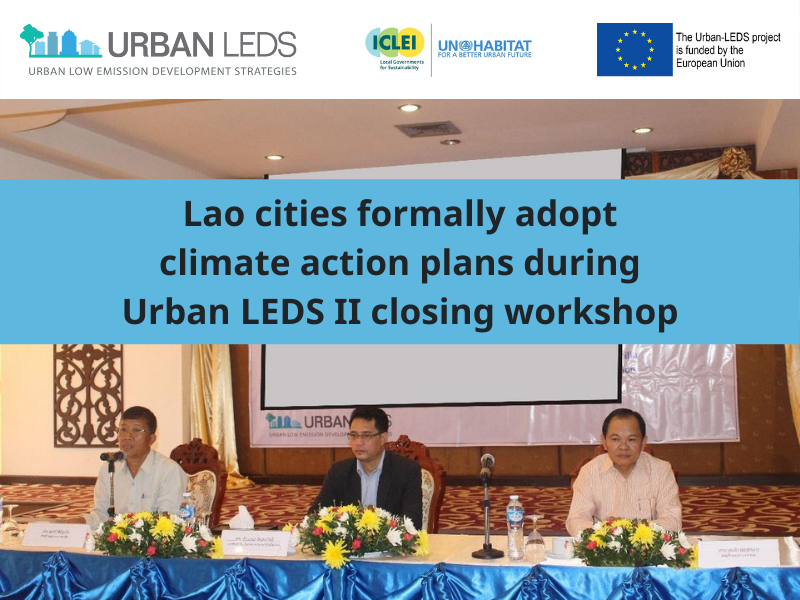
Lao cities formally adopt climate action plans during Urban LEDS II closing workshop
The ICLEI – Local Governments for Sustainability Southeast Asia Secretariat (ICLEI SEAS), in partnership with UN-Habitat, organized a two-day Final Project Workshop last 26-27 October 2021 […]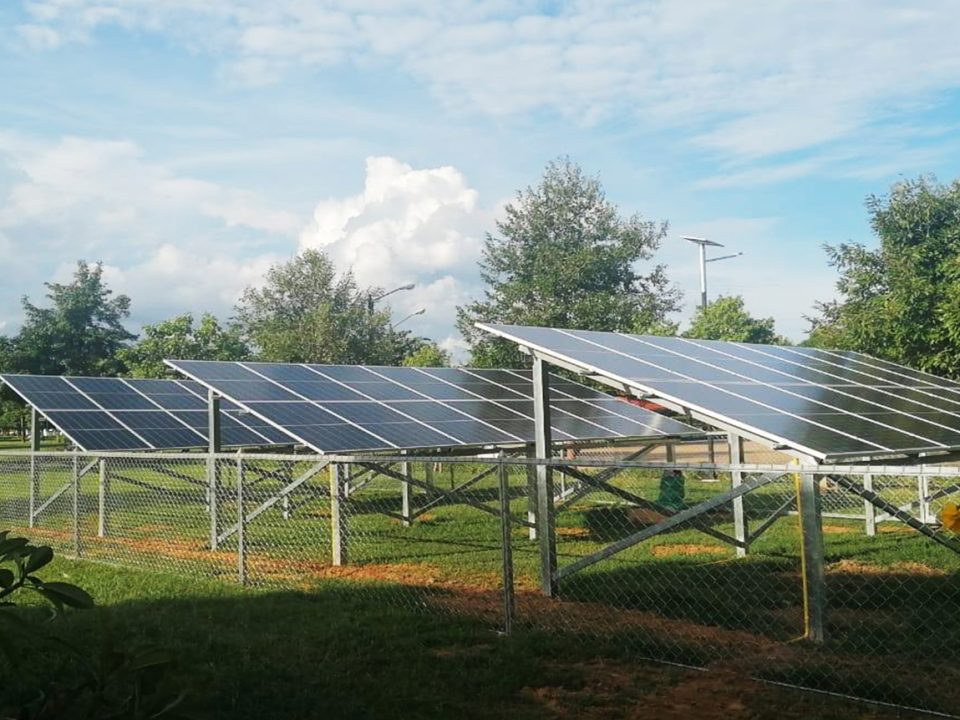
Lao Cities pursue Low-Carbon Development with Solar Power and Energy Efficiency Projects
As part of the Urban LEDS II project, the ICLEI – Local Governments for Sustainability Southeast Asia Secretariat (ICLEI SEAS) formally handed over solar powered and […]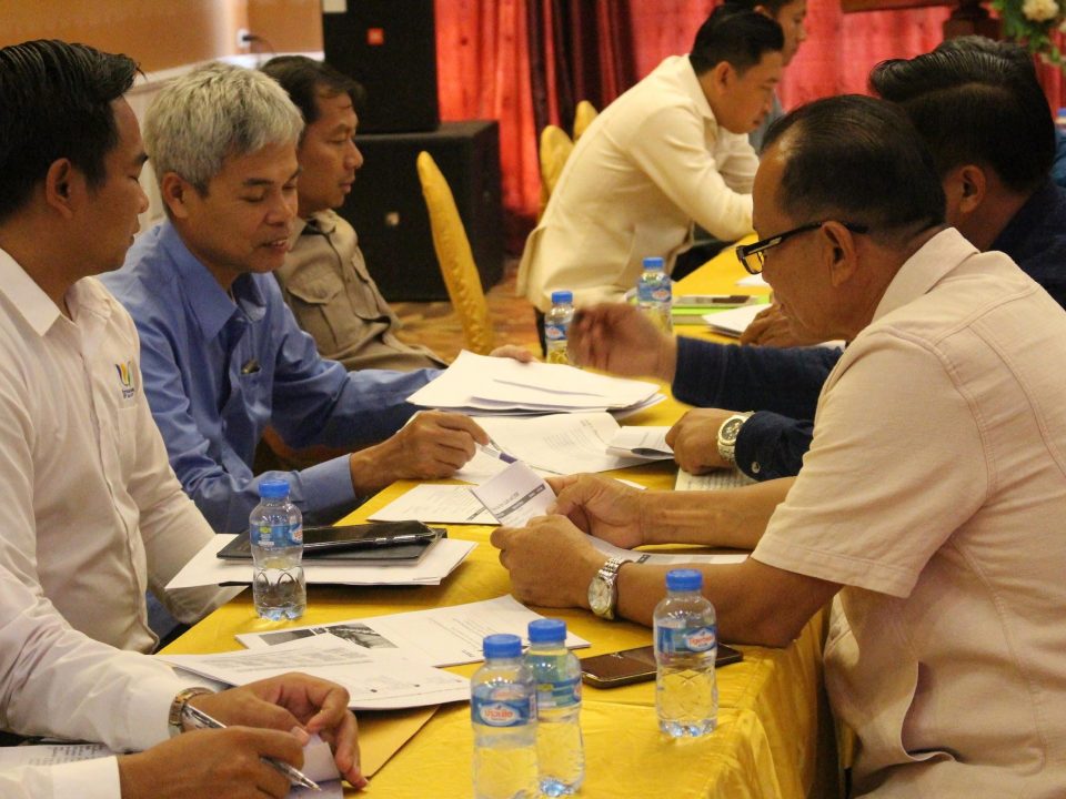
Validating the Low Emission Development Strategies for the Lao Cities
ICLEI Southeast Asia Secretariat (ICLEI SEAS), with the support of the European Commission and UN-Habitat, hosted the third consultation workshop on the review of the low-emission […]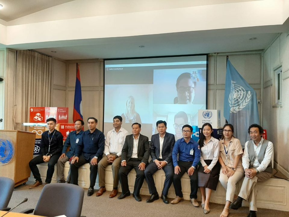
UN-Habitat supports Government of Lao PDR to enhance vertical integration for climate change action
In December 2020, a capacity building workshop was held at UN House in Vientiane to introduce and train government officials on four new sets of technical […]